Avery Sullivan · 5 October 2026
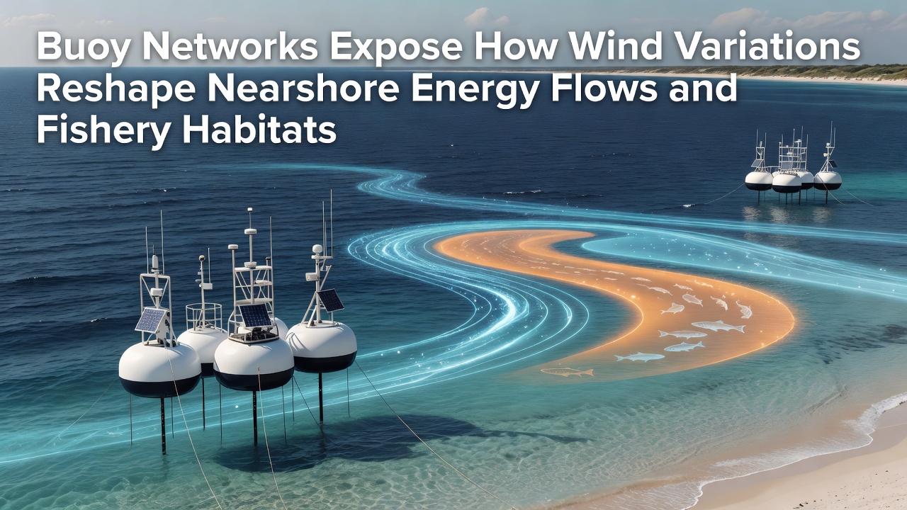
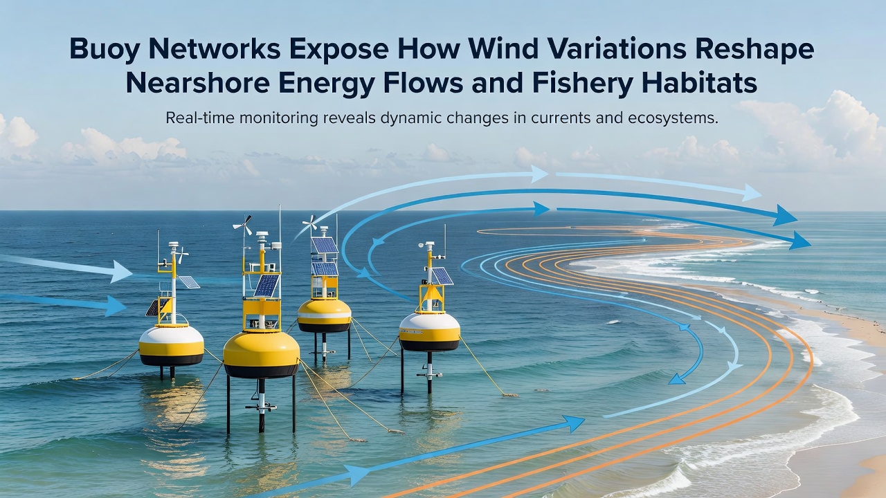
Buoy Networks Expose How Wind Variations Reshape Nearshore Energy Flows and Fishery Habitats
Coastal monitoring programs rely on extensive buoy arrays to track atmospheric and oceanic conditions in real time, and these instruments have documented consistent patterns where shifts in wind speed and direction alter nearshore current structures. Data collected across multiple regions shows that variable winds redistribute wave energy closer to shorelines, which in turn modifies sediment transport and habitat suitability for various fish species. Researchers at institutions focused on marine systems note that such changes occur on seasonal and interannual scales, with measurements from 2024 through 2026 providing detailed baselines for comparison.
Wind Patterns and Energy Redistribution
Buoy sensors positioned at fixed offshore stations capture wind vectors alongside wave height, period, and direction, allowing analysts to correlate surface forcing with subsurface responses. Studies indicate that sustained increases in cross-shore wind components accelerate alongshore currents while reducing the protective effect of wave breaking zones, and this process concentrates mechanical energy in narrower bands near the coast. In October 2026, several Pacific arrays recorded wind gust events that coincided with measurable spikes in near-bed shear stress, demonstrating direct linkages between atmospheric variability and local hydrodynamic regimes.
These observations build on earlier deployments where similar instruments revealed how wind veering events disrupt typical upwelling patterns. The resulting alterations in water column mixing affect nutrient availability at depths where many commercially important species forage, and fisheries managers have begun incorporating these datasets into habitat models. Evidence from buoy records further suggests that prolonged calm periods followed by abrupt wind reversals generate transient eddies capable of trapping larval fish in suboptimal zones.
Impacts on Fishery Habitats
Habitats supporting groundfish and pelagic populations experience direct consequences when energy flows shift, because altered current speeds change the distribution of prey organisms and the stability of benthic structures. Buoy-derived metrics have quantified reductions in suitable spawning grounds during periods of elevated wind variability, with acoustic surveys confirming corresponding declines in fish density at affected sites. Government agencies such as Fisheries and Oceans Canada integrate these findings into stock assessments, noting that habitat compression occurs most frequently in areas where wind-driven waves interact with complex bathymetry.
One long-term monitoring project tracked three consecutive years of buoy data and identified correlations between wind anomaly frequency and recruitment success for several flatfish species. The patterns emerge because modified energy dissipation zones influence both temperature gradients and dissolved oxygen levels near the seafloor. Observers note that these physical changes propagate through the food web, affecting not only adult fish but also the invertebrate communities that serve as primary forage.
Monitoring Advances and Data Integration
Modern buoy networks employ real-time telemetry that transmits high-resolution wind and wave spectra to centralized databases, enabling rapid assessment of emerging conditions. Analysts combine these streams with satellite observations and numerical models to hindcast historical events and forecast future scenarios. The approach has proven effective in regions where traditional shore-based sensors miss localized wind jets that develop over irregular coastlines.
International efforts have expanded buoy coverage to include marginal seas and semi-enclosed basins, where wind variability exerts amplified effects on confined water bodies. Reports from the Commonwealth Scientific and Industrial Research Organisation document comparable dynamics in Australian coastal systems, where seasonal wind reversals reshape energy pathways and influence the persistence of seagrass beds that support juvenile fish populations. Such cross-regional comparisons strengthen understanding of universal mechanisms while highlighting site-specific responses.
Conclusion
Buoy networks continue to supply the empirical foundation required for mapping connections between atmospheric forcing, nearshore hydrodynamics, and biological habitat quality. Accumulated records demonstrate that wind variations function as primary drivers of energy redistribution, with measurable consequences for fishery sustainability across diverse coastal environments. Ongoing expansions in sensor density and analytical techniques will refine these linkages, supporting more precise management responses as conditions evolve.