Leon Jenkins · 21 September 2026
Wind Trend Analysis Spurs New Approaches to Permeable Structures Protecting Fisheries and Coastal Heritage Locations
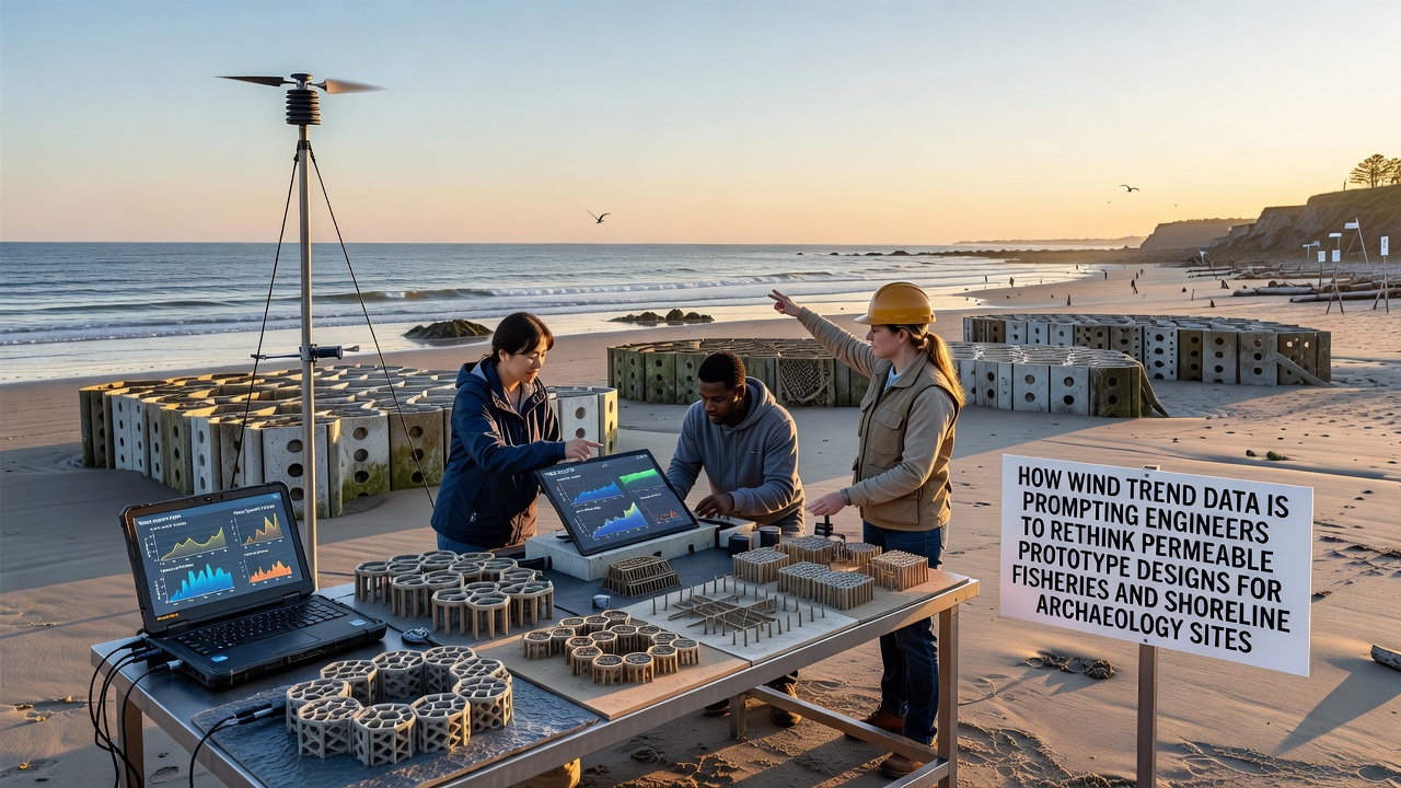
Wind patterns across coastal zones have shown measurable shifts in recent years, and these changes have led engineers to examine how permeable prototype designs perform in dynamic conditions. Data collected from monitoring stations reveal alterations in wind speed and direction that influence wave energy reaching shorelines. Such information has prompted reviews of structures intended to safeguard both fisheries habitats and archaeological sites near the water's edge.
Tracking Changes in Wind Behavior
Long-term records indicate that prevailing winds in several regions now exhibit greater variability compared to patterns observed two decades ago. Researchers at institutions focused on atmospheric studies compile these figures to model potential effects on nearshore environments. In September 2026, additional datasets released by federal agencies confirmed ongoing adjustments in seasonal wind regimes, which in turn affect sediment movement and water flow around existing barriers.
Engineers analyze these trends to determine whether current permeable designs allow adequate exchange while providing necessary protection. Permeable prototypes typically incorporate materials that permit water passage, reducing pressure buildup during high-energy events. Yet updated wind information suggests that some configurations may require modification to maintain effectiveness under revised conditions.
Applications in Fishery Habitats
Fisheries depend on stable nearshore areas where juvenile fish find shelter and food sources. Permeable structures have been installed in various locations to create protected zones without completely blocking natural water circulation. Observations from field studies show that shifts in wind-driven currents can alter how these areas function over time. Data from monitoring programs indicate that certain designs now experience increased turbulence, which may influence fish behavior and habitat quality.
Adjustments under consideration include changes to pore size and material density within the prototypes. Teams working on fishery management projects examine how these modifications interact with evolving wind patterns. Reports from coastal research centers highlight examples where updated permeable barriers have supported improved conditions for species that rely on consistent flow regimes.
Protection of Shoreline Archaeological Resources
Archaeological sites along shorelines face risks from erosion and sediment redistribution influenced by wind and wave activity. Permeable prototypes serve as one method to stabilize these locations while allowing some natural processes to continue. Evidence gathered through site surveys demonstrates that wind trend variations can accelerate or redirect erosion patterns around buried artifacts and structural remains.
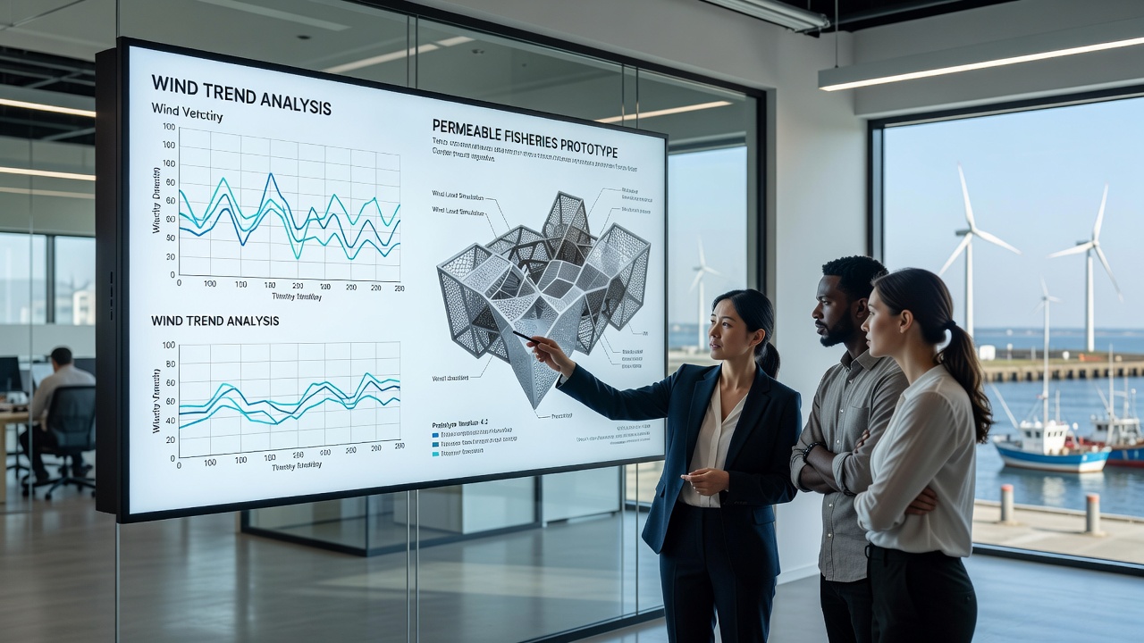
Engineers collaborate with heritage preservation specialists to adapt designs accordingly. In regions where wind data shows stronger cross-shore components, prototypes with enhanced permeability at specific depths have been tested. Findings from these trials indicate that targeted adjustments help maintain site integrity without isolating the area from surrounding coastal dynamics.
Engineering Responses to Updated Data
Design teams review wind trend information alongside hydrodynamic models to refine permeable prototypes. This process involves testing different configurations in controlled settings before field deployment. According to records maintained by the National Oceanic and Atmospheric Administration, consistent monitoring supports identification of areas where wind shifts most directly impact coastal infrastructure.
One project in North America incorporated feedback from wind analysis to revise barrier spacing and porosity levels. Similar work in Australian coastal zones, documented through university-led research, applied comparable methods to address local wind regime changes. These efforts demonstrate how data integration leads to iterative improvements in prototype performance.
Future Considerations for Coastal Management
Ongoing collection of wind trend data continues to inform decisions about permeable structure placement and composition. Collaboration among engineers, fishery managers, and archaeologists ensures that adaptations address multiple objectives simultaneously. Information from international sources, including studies coordinated through European environmental agencies, provides comparative insights that strengthen design frameworks.
Conclusion
Wind trend data has become a central factor in the reevaluation of permeable prototypes for fisheries and shoreline archaeology sites. By incorporating these observations into planning and testing phases, engineers develop structures that respond to changing coastal conditions. Continued monitoring and cross-disciplinary input support refinements that align with both habitat needs and preservation goals.